Context-
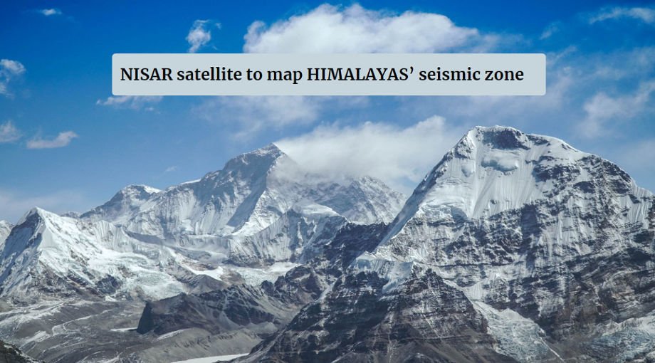
– NISAR jointly developed by ISRO and NASA will map the most earthquake prone regions in the Himalayas with unprecedented regularity.
– The data this will generate & can potentially give advanced warning of land subsidence, as observed in Joshi math and point out at the greatest risk from earthquake.
– Using two frequency bands (L-band and S-band) to image the seismically active Himalayan region in every 12 days, that will create a Deformation map.
– These two frequency bands will together provide high resolution all weather data from the satellite.
– Satellite is expected to follow a sun synchronous orbit and will be launched in January 2024
S band-
– Part of microwave band and electromagnetic spectrum covering frequencies 2GHz-4GHz and wavelength range is 7.5cm to 15cm
– It crosses the conventional boundaries between UHF and SHF band at 3.0 GHz
– Commonly used in surveillance radar for air traffic control, weather radar, surface ship radar, some communication satellite etc.
L band
– Range frequencies in the radio spectrum from 1GHz-2GHz and wavelength range 30cm to 15cm
– Top end of ultra-high frequency (UHF)
– Used in mobile service, satellite navigation, telecommunication, Aircraft surveillance, amateur radio, digital audio broadcasting etc.
Government of India initiative towards Himalayas
– The national centre for seismology (NCS) and Ministry of earth science (MoES) has upgraded and strengthen the infrastructure facilities and provide better scientific inputs require for
improving disaster mitigation.
– SET up Earthquake Early Warning system (EEWS) on a pilot basis for a small area in the Himalayas.
– Set up a new seismology observatory at Udhampur in J&K.


