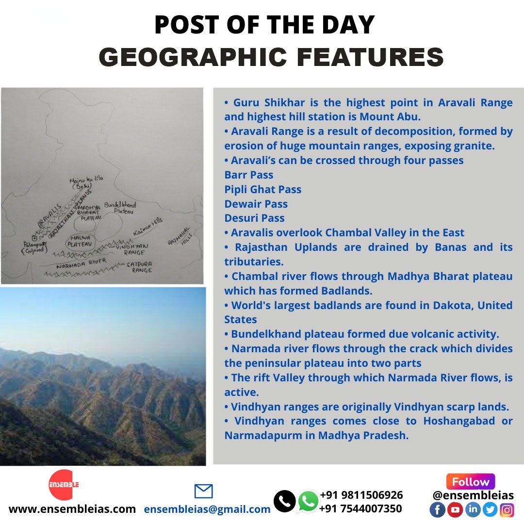
Aravali Range
GEOGRAPHIC FEATURES
- Guru Shikhar is the highest point in Aravali Range and highest hill station is Mount Abu.
- Aravali Range is a result of decomposition, formed by erosion of huge mountain ranges, exposing granite.
- Aravali’s can be crossed through four passes
- Barr Pass
- Pipli Ghat Pass
- Dewair Pass
- Desuri Pass
- Aravalis overlook Chambal Valley in the East
- Rajasthan Uplands are drained by Banas and its tributaries.
- Chambal river flows through Madhya Bharat plateau which has formed Badlands.
- World’s largest badlands are found in Dakota, United States
- Bundelkhand plateau formed due volcanic activity.
- Narmada river flows through the crack which divides the peninsular plateau into two parts
- The rift Valley through which Narmada River flows, is active.
- Vindhyan ranges are originally Vindhyan scarp lands.
- Vindhyan ranges comes close to Hoshangabad or Narmadapurm in Madhya Pradesh.
ENSEMBLE IAS ACADEMY
Life, Leadership and Career Forever
Best Geography classes for IAS
Call us or WhatsApp: 9811506926
Free Demo Course or Purchase Course


