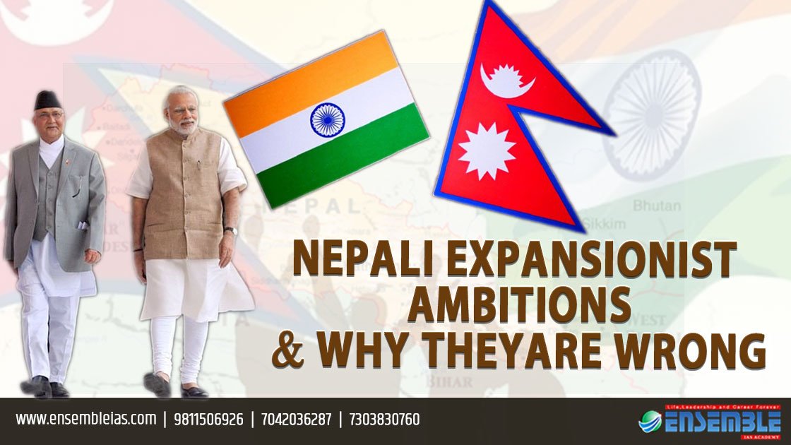
Nepali expansionist ambitions and why they are wrong.
India and Nepal are natural partners
India and Nepal are natural partners closely knit together by culture and geography. Both countries derive their understanding of the Indo-Nepal boundaries from the Treaty of Sugauli. Recently, both countries are facing a dispute which has arisen from different interpretations of the treaty.
The British East India Company and Nepal signed a treaty after the Anglo-Nepalese War (1814-1816). The treaty came to be known as the ‘Treaty of Sugauli’ which without providing a map, demarcated Nepal’s western extent as the territories lying to the east of Kali River.
How This Dispute Started
Recently, Nepal launched a map which included Indian territories of Limpiyadhura, Kalapani, Susta. Nepal further showed aggression by validating this new map by passing a constitutional amendment further straining the ties between the two countries. The dispute has arisen due to unilateral changes done by Nepal on the basis of a new interpretation of the Treaty. Nepal believes that the Kali river originates far east near Limpiyadhura, therefore it has included the territories east of it. However, India believes that the river originates near Lipu Lekh therefore that marks the boundary.
Nepal has also included the region of Susta in its new map, which is also unacceptable to India. Both the countries lay their claims on the Kalapani region. India considers Kalapani to be a part of Pithoragarh in Uttarakhand and Nepal calls it a part of Dharchula. Even if Nepal claims the riverine boundary to be the lengthiest tributary, there are many tributaries of the kind and selecting any one of them according to one’s convenience is bound to create disputes.

Nepal’s unilateral changes and new claims are directly in conflict with the common understanding of the border since 100 years, which it wants to change on the basis of new-found archival material.
Geographic boundaries like these are better sustained on bilateral understanding. Several British surveys have also shown India-Nepal border being north of Kalapani springs, east of Lipu-Lekh.
Even in 1969 when Nepal issued a list of Nepali territories from where Indian troops had to be withdrawn, it omitted Lipu Lekh and Kalapani from the list. Since 1954, the Chinese have also accepted Lipu Lekh to be India territory. Clearly both the regions have always been accepted to be a part of India.
Nepal started raising this issue when India released its new map after the bifurcation of the former state of Jammu and Kashmir, it objected to the inclusion of Kalapani in Indian territory on the basis of its newly formulated ill-claims. Then, recently when the Defence Minister of India inaugurated a new road to Mansarovar, Nepal objected to it.
How to Resolve the Issue by Bilateral Understanding and Negotiations

Therefore, the two countries find themselves in the middle of a dispute which undermines their historic, cultural, strategic ties. India and Nepal must engage in talks and find a way out on the basis of mutual agreement and negotiation.
India in any case must reject the new claims of Nepal and assert its position on original and historic boundaries that have been accepted all these years. Nepal being a landlocked country already depends on India for much of its international trade and essential supplies.
History is witness that the result of the conflict between the two countries has always caused economic distress in Nepal. More than the state to state relationship, Indian and Nepali people have innate ties, which are undermined in this conflict. Therefore, both sides must resolve the concerns on a priority basis.
Topic :- Nepali expansionist ambitions and why they are wrong.
AUTHOR:- SURAMYA SHARMA
CATEGORY :- International Relations
For more details : Ensemble IAS Academy Call Us : +91 98115 06926, +91 7042036287
Email: ensembleias@gmail.com Visit us:- https://ensembleias.com/
#International_Relations #Nepal #Nepali_expansionist #exports #cheap_labour #Export_strategy #trade_agreements #current_affairs #Indian_Goverment_System #bureaucracy #blog #geography_optional #upsc2020 #ias #k_siddharthasir #Government_of_India #india #studyabroad #geography #upsc #bhugol #government #news #dailynews #gk #dailyquiz #editorial
