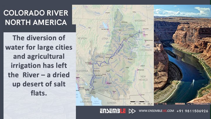
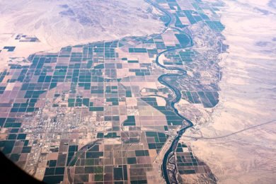
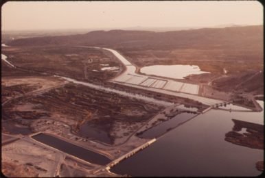
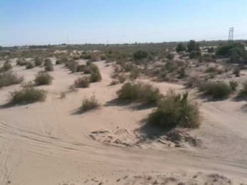
Colorado River, North America : The diversion of water for large cities and agricultural irrigation has left the River – a dried up desert of salt flats.
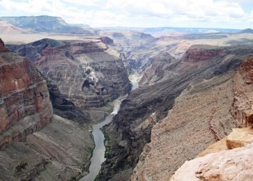
The Colorado River is one of the principal rivers in the Southwestern United States and northern Mexico. The 1,450-mile-long river drains an expansive, arid watershed that encompasses parts of seven U.S. states and two Mexican state.
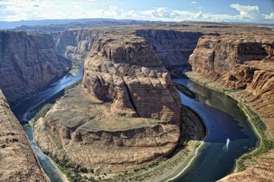
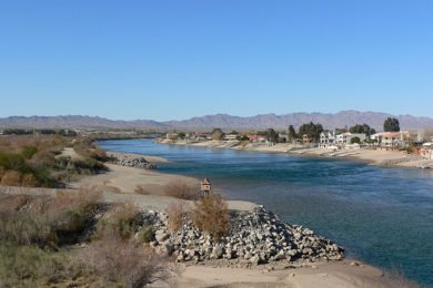
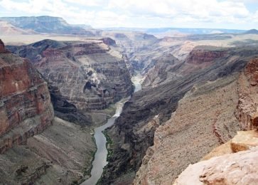
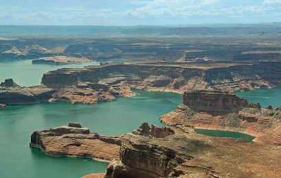
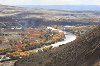
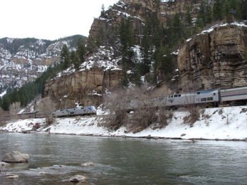
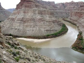
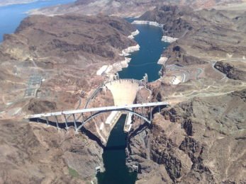
Colorado River, major river of North America, rising in the Rocky Mountains of Colorado, U.S., and flowing generally west and south for 1,450 miles (2,330 kilometres) into the Gulf of California in northwestern Mexico. Its drainage basin covers 246,000 square miles (637,000 square kilometres) and includes parts of seven states—Wyoming, Colorado, Utah, New Mexico, Nevada, Arizona, and California. For 17 miles the river forms the international boundary between the U.S. state of Arizona and Mexico. The river drains a vast arid and semiarid sector of the North American continent, and because of its intensive development it is often referred to as the “Lifeline of the Southwest.”
Also Read : Lake Urmia Iran | Drying up of Lakes
The Colorado is joined by over 25 significant tributaries, of which the Green River is the largest by both length and discharge. The Green River takes drainage from the Wind River Range of west-central Wyoming, from Utah’s Uinta Mountains, and from the Rockies of northwestern Colorado. The Gila River is the second longest and drains a greater area than the Green, but has a significantly lower flow because of a more arid climate and larger diversions for irrigation and cities. Both the Gunnison and San Juan rivers, which derive most of their water from Rocky Mountains snowmelt, contribute more water than the Gila contributed naturally.
To buy our online courses: Click Here
For more details : Best Online Coaching for Civil Service_IAS_ UPSC_IFS_IPS,
Free Study Material ENSEMBLE IAS ACADEMY
Call +91 98115 06926
Visit us:- https://ensembleias.com/
Online Store: https://online.ensemble.net.in/
Email: ensembleias@gmail.com


