World Hydrography Day 2021
World Hydrography Day is celebrated globally on the 21st of June each year. World Hydrography Day is an opportunity to increase public awareness of the vital role that hydrography plays in everyone’s lives. This year, the theme of World Hydrography Day 2021 is “100 years of international cooperation in hydrography”.
History
This day was observed and recognised because of the initiative of Monaco-based International Hydrographic Organization (IHO) that was founded in 1921. This was an organisation that served the purpose of facilitating talks between governments on issues related to navigation, technical standards and protection of marine life.
With time, the IHO came up with the idea of a World Hydrography Day in 2005. Later, the decision was welcomed by the United Nations General Assembly which adopted a resolution to celebrate World Hydrography Day on 21 June every year.
To buy our online courses: Click Here
Objective of World Hydrography Day
The main objective of this day is not only to attract people’s attention towards the work of the IHO at the international level but also create an awareness and urge countries to work together to protect their own marine environment and seek for safe international navigation around the world.
Significance of Hydrography
Hydrography is a branch of applied sciences which deals with the measurement and description of the physical features of oceans, seas, coastal areas, lakes and rivers, as well as with the prediction of their change over time. Of late the marine environment has been exposed to many threats and because of that the conditions have been found deteriorating day by day. Therefore it has become all the more important at present to provide safety of navigation and in support of all other marine activities, including economic development, security and defence, scientific research, and environmental protection of country.
Hydrographer is involved in measuring and searching for rocks and wrecks that could be hazardous to navigation. They carry on researches on water levels, tides, currents, temperature and salinity. Hydrographers conduct hydrographic surveys to measure the depth and bottom configuration of water bodies. The information, thus, gained from these is vital on safer navigation in the ocean and to understand our nation’s waterways.
Other Important benefits of Hydrography is as follows-
– resource exploitation – fishing, minerals
– environmental protection and management
– maritime boundary delimitation
– national marine spatial data infrastructures
– recreational boating
– maritime defence and security
– tsunami flood and inundation modeling
– coastal zone management
– tourism
– marine science
Activities of Hydrographers
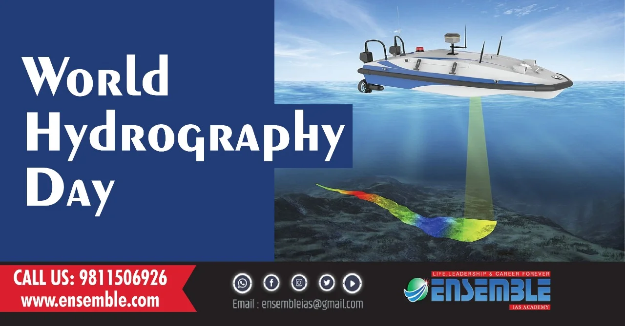
Activities such as public events, demonstrations, workshops, seminars, conferences, awards, dinners, and distribution of promotional materials are conducted on this day. The Hydrographers use new and innovative technologies which includes aerial, surface and underwater survey drones for large ships. The new technologies can help increase the coverage of under surveyed areas. Additionally, they can provide a testing ground for these machineries.
Since the marine ecosystem will affect the whole humanity whose existence is already at stake in the wake of COVID 19, its high time that the agenda to protect our marine environment be taken up at utmost priority throughout the world and an international co-operation among the countries is an urgent need. Hence this year’s theme of “100 years of international cooperation in hydrography” is taken up.
India’s role in preserving Hydrography
Over the years, Indian Naval Hydrographic Department responsible for hydrographic surveying in India, has showcased National commitment in ensuring safe navigation, resolving maritime boundaries with neighbouring countries and also as part of its international responsibilities has provided coverage for marine safety information in the Navarea VIII region comprising of Indian Ocean, Arabian Sea and Bay of Bengal.
The Hydrographic survey ships of ENC have been extensively involved in conduct of surveys not only along the Eastern coast of India but also in friendly foreign waters as part of international Hydrographic cooperation with littoral nations resulting in capacity building in the Indian Ocean Region. INS Darshak has recently undertaken hydrographic survey of Tanzania, Mauritius and Sri Lanka as part of foreign cooperation initiatives.